- New
- -5%


Secure payment and data protection guaranteed
 Ships in 24/48 hours for products in stock
Free Basic Shipping from € 65 (Only for the Peninsula)

Refund up to 15 days after delivery
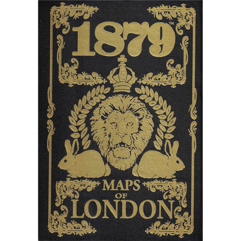
The Maps of London box set contains 32 full color historical maps of London, circa 1879. These are large, fold out maps, with enough definition and size that the street names are legible, covering each of the 29 boroughs of London, an overall map showing how the boroughs fit together, and maps showing the suburbs north and south of the Thames. We also provide travel time and distance charts for movement between the districts with instructions for their use, and a table of the various points of interest labeled through out the maps. The maps are contained in a foil stamped, leatherette magnetic lid box.
Data sheet
Specific References
Your review appreciation cannot be sent
Report comment
Report sent
Your report cannot be sent
Write your review
Review sent
Your review cannot be sent
Reference: MUH0190701
Brand: Modiphius Entertainment
Reference: MUH052217
Brand: Modiphius Entertainment
Reference: MUH050008
Brand: Modiphius Entertainment
Reference: MUH050007
Brand: Modiphius Entertainment
Reference: MUH050041
Brand: Modiphius Entertainment
Reference: MUH052063
Brand: Modiphius Entertainment
Reference: DMIFE2ARCH
Brand: Modiphius Entertainment
Reference: MUH050014
Brand: Modiphius Entertainment

check_circle
check_circle